A depth slice is a horizontal slice through a 3D volume of geophysical data. A depth slice is often created when geophysical data is collected in dense parallel profiles. The purpose of the depth slice is often to make the interpretation of subsurface features, easier.
Depth slices can be created from all types of geophysical data if the data is collected in a dense enough fashion. Read more on 1D, 2D and 3D data collection here.
The images below show how depth slices for GPR data are created (they are also sometimes called time slices). Note that geophysical data, from both seismic and GPR investigations, always should be migrated before the depth slices are created.
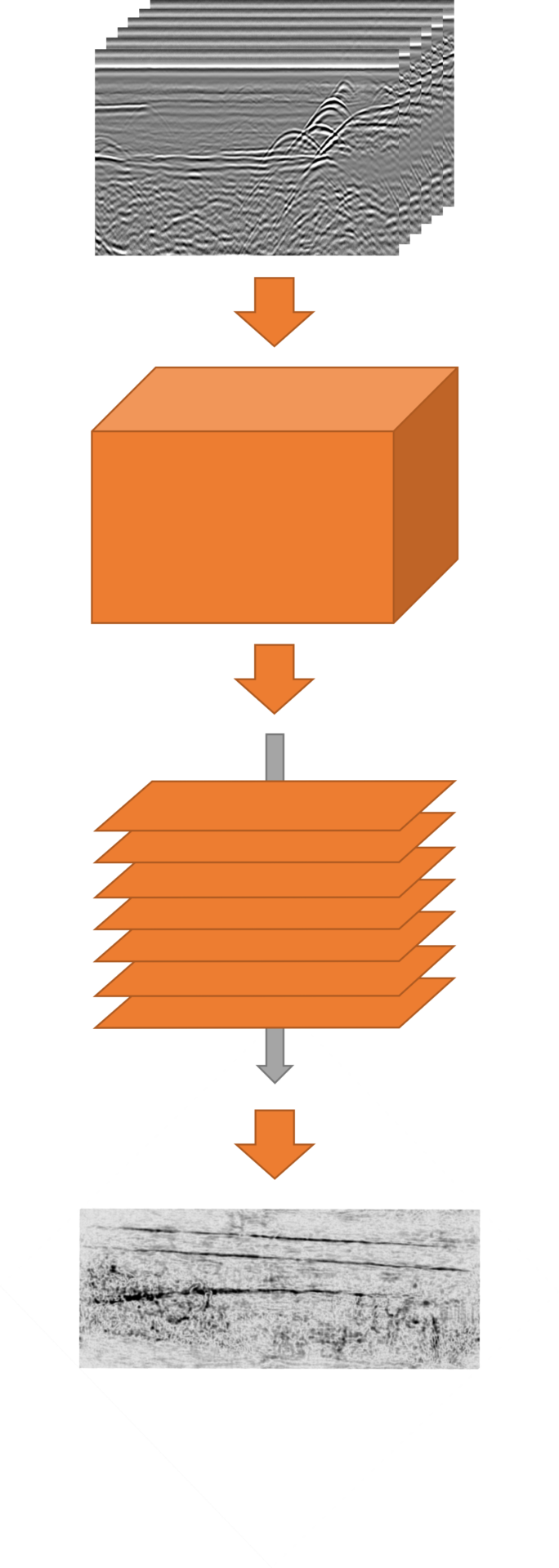
Parallel 2D files are interpolated to a 3D volume and then the 3D volume is sliced at different depth and results viewed as a map over the investigation area.
More to read
Application areas
Methods
Case Stories
Products