Optimizing Mining Operations: From Ground Investigation to Infrastructure Monitoring
Mining is a global industry, with long-term operations spanning both open-pit and subsurface sites. These environments are rarely static; they evolve over decades, continuously changing the landscape and impacting the surrounding area.
The Challenges of Mine Expansion
As a mine develops, its lifecycle involves constant expansion—from sinking new shafts and enlarging pits to building additional infrastructure and waste handling facilities. Throughout these stages, efficient ground investigation is essential for safe and successful growth.
Traditionally, site characterization relies on point-by-point geotechnical drilling and sampling. However, this can be difficult to execute in a crowded mining environment. Navigating existing subsurface utilities, surface structures, and waste piles often makes traditional drilling logistics complex and time-consuming.
Using Geophysics for Subsurface Mapping
Geophysical tools offer a practical alternative for understanding the subsurface within and around an expanding mine. By providing a broader view of the ground conditions, geophysics helps teams:
Identify geological variations between boreholes.
Map subsurface structures in areas where drilling is restricted.
Assess site conditions with minimal disruption to active operations.
Monitoring Infrastructure Health and Stability
Beyond initial investigations, there is a constant need for maintenance and monitoring across mine sites. This includes ensuring the integrity of processing plants and haulage roads, as well as monitoring the stability of tailings dams, embankments, and waste deposits.
When applied correctly, geophysics provides reliable data on the “health” of critical infrastructure. These non-invasive methods can offer early warnings of potential stability issues, allowing for proactive maintenance and improved site safety

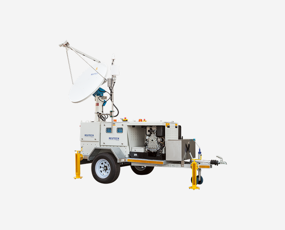
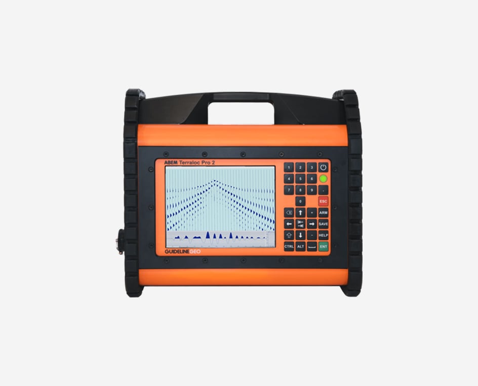
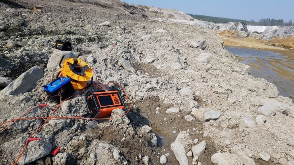
Geophysical Methods for Mining Operations: GPR, Resistivity, IP, and Seismics
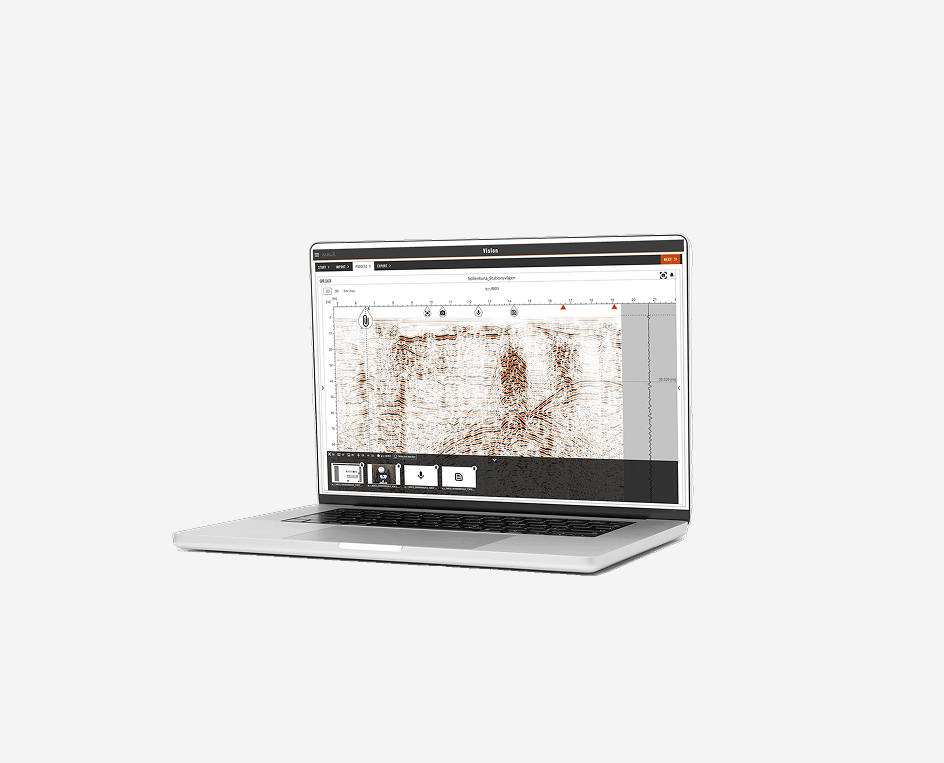
Guideline Geo´s wide range of geophysical investigation techniques can solve a number of the most common questions that arise during mining operations. They will give a non-destructive and cost-efficient way of gaining a better understanding of the ground conditions both for subsurface and open-pit mines, providing a good data coverage across the investigated volume.
GPR, resistivity, IP (induced polarization) and seismics can be used for mine operations. These methods are suitable for both surface and in-mine measurements, as well as for borehole investigations. GPR can also be used for analysis of the state of existing structures such as concrete hard-standing and structures.
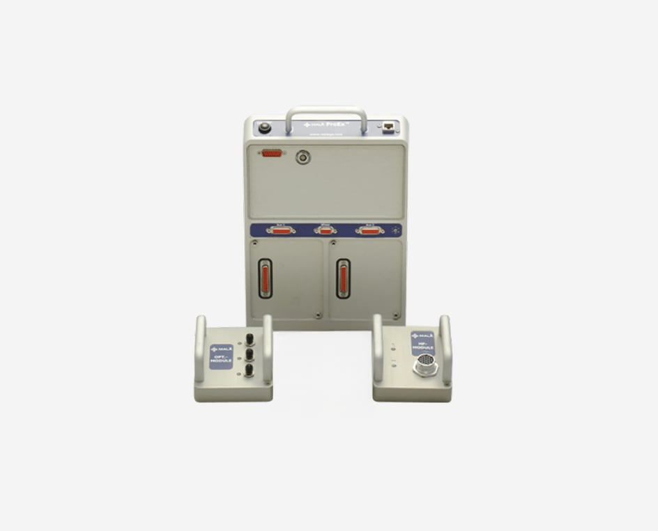
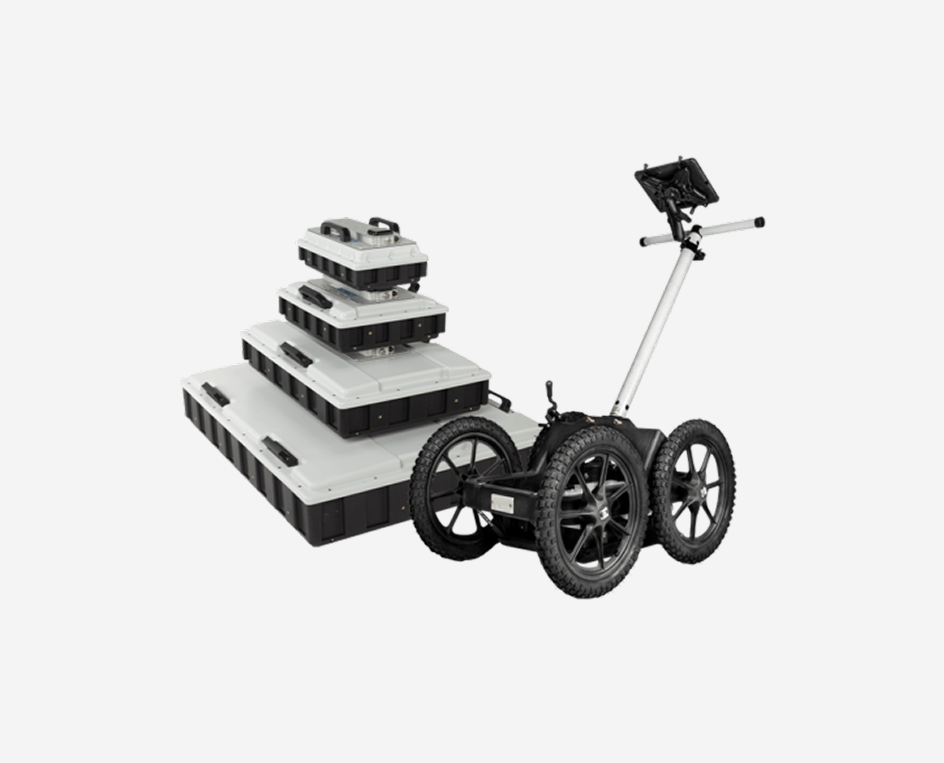
Ground Penetrating Radar in relation to mining
As introduced above, Ground Penetrating Radar (GPR) is useful for many different applications during mining, both for geological purposes and for structural investigations; some common applications are:
- Tunnel inspection – investigation of concrete (e.g. thickness, number and positioning of rebars), voids, fractures, loose stones
- Pre-investigation of the rock volume (e.g. groundwater-bearing fractures) ahead of tunnel boring (with borehole GPR)
- Investigation of rock quality, such as fractures within marble or clay layers in limestone
- Mapping of the infrastructure around a mining area, including utilities and other underground structures
- Investigation of geology, in particular depth to bedrock prior to expansion of open-pit mines
- Investigating, and potentially monitoring, dam constructions containing e.g. leachate
Additionally, GPR can be used for a number of different geotechnical applications needed for new infrastructure, including roads and other construction projects.
One major consideration with GPR is that the ground around mining sites can be quite conductive due to the high degree of alteration and mineralization. This may adversely affect the GPR results.

Resistivity in relation to mining
Resistivity measurements during the operation of a mine are often suitable for:
- Monitoring of infrastructure e.g. tailings dams and embankments
- Mapping/monitoring pollution plumes and other contamination from the mine
- Geotechnical information for mine development/expansion
- Mapping of potential slip planes in / beneath waste heaps
- Mapping of aquifers and aquitards in geohydrological investigations
Resistivity and IP surveys are most often carried out in combination. The same equipment is used for both and to measure the two parameters instead of one does not necessarily prolong field acquisition times to any great extent. The IP will provide additional complementary information to the resistivity which can be very useful when differentiating between materials which might present a similar range of resistivity values (such as clay and groundwater).
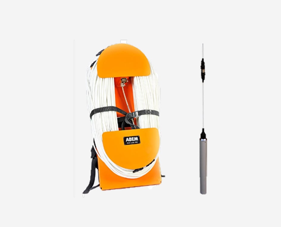
Seismics in the relation to mining
Seismic investigations during the operation of a mine can be for:
- Material stability e.g. embankments, earth dams and waste heaps
- Geotechnical information for active mine development/expansion such as depth to bedrock and rippability (a measure of how hard a rock will be to excavate)
- Testing the level of vibration at the perimeter of the mining operation during specific activities to assess the potential for damage to neighboring properties and infrastructure