ERT-Based Subsoil Assessment to Support Reliable Foundation Design
Summary:To guide the design of a safe foundation for a building project in Mexico City, Comexmol conducted Electrical Resistivity Tomography (ERT) to assess subsoil conditions. The survey identified cavities, fractures, heterogeneous fills, and areas affected by past mining, providing data to support a foundation design using piles and a slab adapted to the site’s variable ground conditions.
Urban subsurface conditions can be highly complex, especially in areas with a long history of human activity. In this case, the site presented signs of past material extraction, both at the surface and underground, which introduced uncertainties in the ground conditions.
Geological background, oral references from the local population and historical information indicated that the area had been used for open-air and artisanal mining, and pointed to possible cavities and irregular ground behaviour. These factors suggested a heterogeneous subsurface, with potential discontinuities such as voids, fractures, and zones of weak or saturated fill material.
Such variations are difficult to detect and map using conventional methods alone, yet they pose significant risks when planning a stable foundation system for new construction.
The Solution: Electrical Resistivity Tomography (ERT) Survey
To accurately characterize these complex subsurface conditions, geophysics provided a non-invasive approach. Electrical Resistivity Tomography (ERT) enables a non-invasive imaging of subsurface resistivity contrasts, making it well suited to delineate features such as cavities, fractures, heterogeneous fills and anthropogenic voids associated with former mining activity.
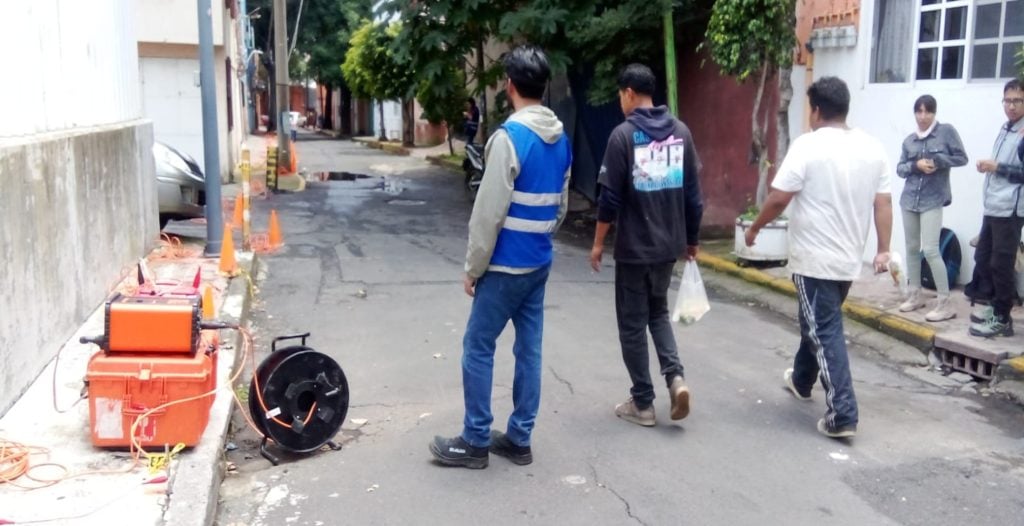
Data acquisition was performed using the ABEM Terrameter LS 2, with 10 channels and 48 electrodes, enabling efficient collection of high-resolution resistivity profiles across multiple investigation points within the building footprint where space conditions allowed. The survey was carried out using a Dipole-Dipole array configuration, and the resulting datasets were processed to model the spatial distribution of resistivity. This was subsequently compared with satellite imagery to support correlation with both surface expressions and historical land-use information.
Results & Conclusion
The results allowed for a detailed characterization of subsurface conditions, highlighting zones associated with former mining activities, underground excavations, and heterogeneous fills. By integrating electrical resistivity data with historical information and aerial imagery, a coherent interpretation of subsurface features was achieved. Based on the characterization obtained, the use of piles and foundation slab was defined as a foundation alternative, in order to reduce the influence of low-performance materials and possible heterogeneities present in the subsoil.
Based on the characterization obtained, the use of piles and foundation slab was defined as a foundation alternative, in order to reduce the influence of low-performance materials and possible heterogeneities present in the subsoil.