Measuring Ice Road Thickness with Ground Penetrating Radar
Ice roads provide vital seasonal access for communities, industry and field operations in cold regions. They can shorten travel routes and make it possible to reach homes, workplaces, supply points and remote project areas. Because ice conditions can change quickly with temperature, weather and traffic, reliable information about ice thickness is essential for planning and maintaining safe access.
Traditional ice-thickness checks are often made by drilling at selected points along a route. Drilling provides valuable direct measurements, but it is localized and can miss changes between the points. Ground penetrating radar (GPR) complements point measurements with fast, non-destructive coverage. As a result, survey teams can see how ice thickness varies along the entire ice road.
Safety note: ice road requirements depend on vehicle type, ice quality, water conditions, weather, traffic and local regulations. Some projects use approximately 20–25 cm as a planning reference for passenger vehicles, but heavy traffic requires substantially greater capacity. GPR data should support a site-specific ice-safety plan and be combined with appropriate validation and operational controls.
Point drilling versus GPR: investigation speed
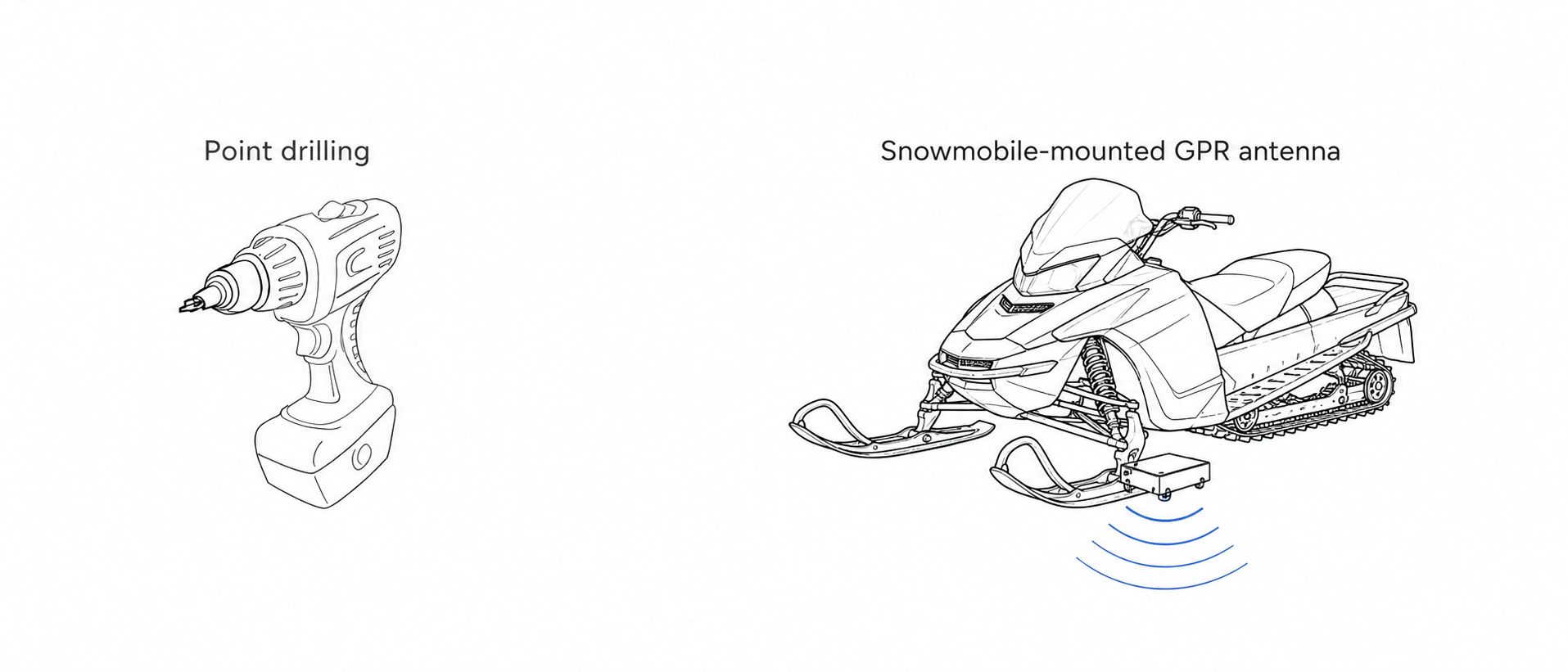
Point drilling provides direct measurements at selected locations. GPR can collect much denser measurements along a route, allowing faster coverage between drill points. The illustration uses a snowmobile-mounted GPR antenna as an example of surface-based GPR equipment; actual survey speed depends on the system, route, spacing and operating conditions.
| Method | Measurement rate | Spacing | Indicative coverage speed |
|---|---|---|---|
| Point drilling | 60 drill points/hour | 0.5 m (1.6 ft) | 30 m/h (98 ft/h) |
| GPR survey | 160,000 measurement points/hour | 0.5 m (1.6 ft) | 80 km/h (50 mph) |
How GPR maps ice road thickness
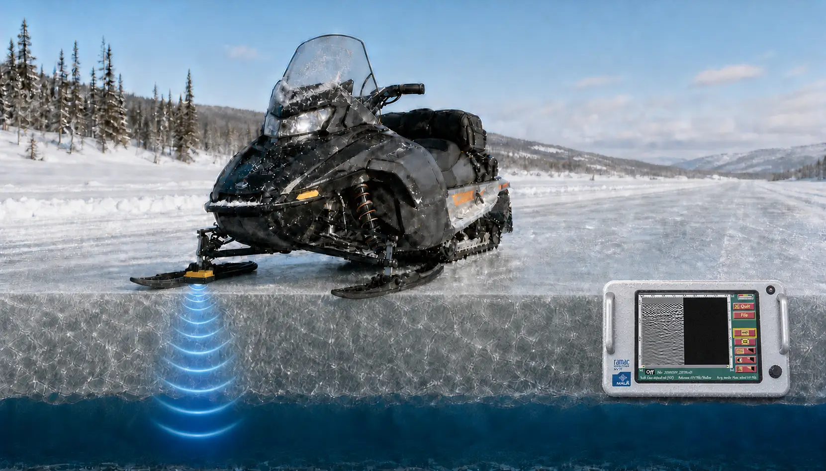
GPR sends short electromagnetic pulses into the ice and records reflections from subsurface interfaces. On an ice road, the main interpreted reflector is commonly the boundary between the ice and the water below. The software converts travel time to this reflector into depth, producing an ice-thickness estimate along the survey line.
For shallow ice investigations, higher-frequency antennas can provide the resolution needed to characterize the ice layer. Frequencies from approximately 600 MHz to 2.3 GHz can be suitable in many situations. However, choose the antenna based on the expected thickness, ice conditions, required resolution and the survey system being used.
What an ice road GPR survey can show
- Ice thickness continuously along the surveyed route
- Sections that are thinner than the project target or that need closer inspection
- Local anomalies and disrupted zones that may indicate changes in ice conditions
- Thickness variation between repeated surveys
- A georeferenced map for communicating conditions to field and operations teams
GPR is especially useful when conditions need to be checked at multiple locations or revisited over time. It can reduce the uncertainty between drill points while retaining drilling as a valuable method for calibration and verification.
Fast 2D surveys from a snowmobile or ATV
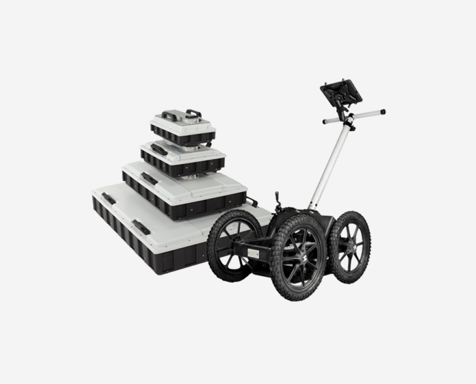
In practice, the most common setup is a lightweight GPR system mounted on or pulled behind a snowmobile, ATV or similar vehicle. This configuration supports rapid 2D measurements along an ice road and can cover long routes efficiently. The investigation team can mount the antenna directly to the vehicle or place it in a sled, depending on the terrain, snow cover and local operating conditions.
You can combine the survey with GNSS positioning so that the system ties interpreted thickness values to route coordinates. This makes it easier to locate follow-up drill points, compare sections and create a map for the whole ice road.
Airborne GPR for early-season or unsafe ice
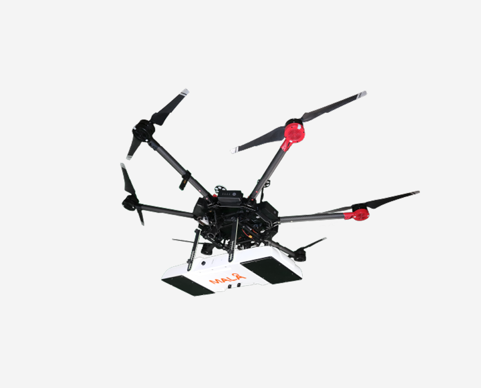
At the beginning of the season, or where ice conditions make it unsafe to put personnel and vehicles on the surface, a drone-based GPR solution can provide an alternative way to collect 2D profiles of the ice from the air.
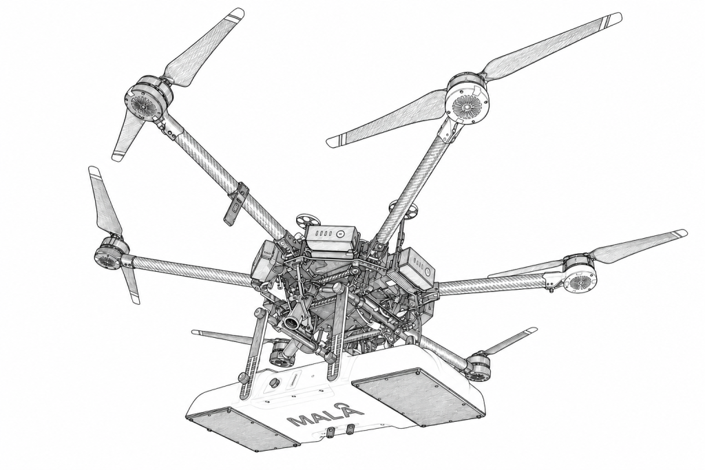
Note that: Drone operations must follow applicable aviation requirements and the project’s ice-safety procedures. Also account for measurement geometry and the distance between the antenna and the ice surface when planning and interpreting the survey.
GPR results for ice road planning
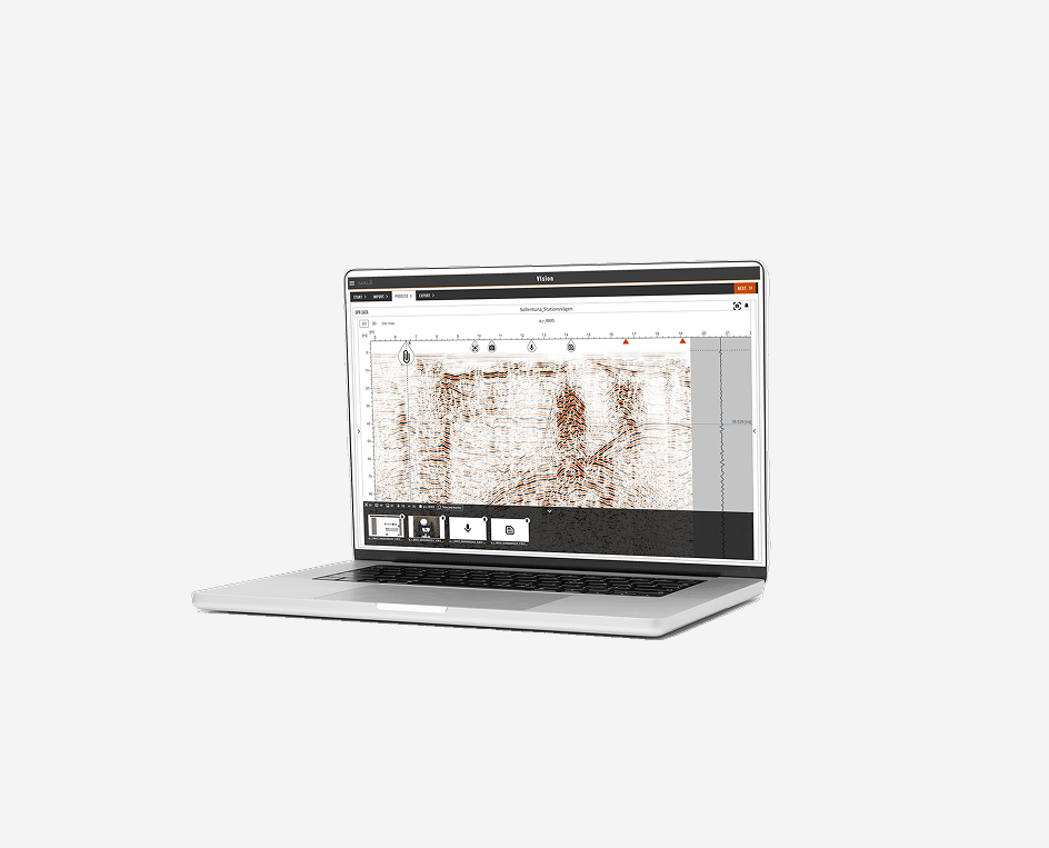
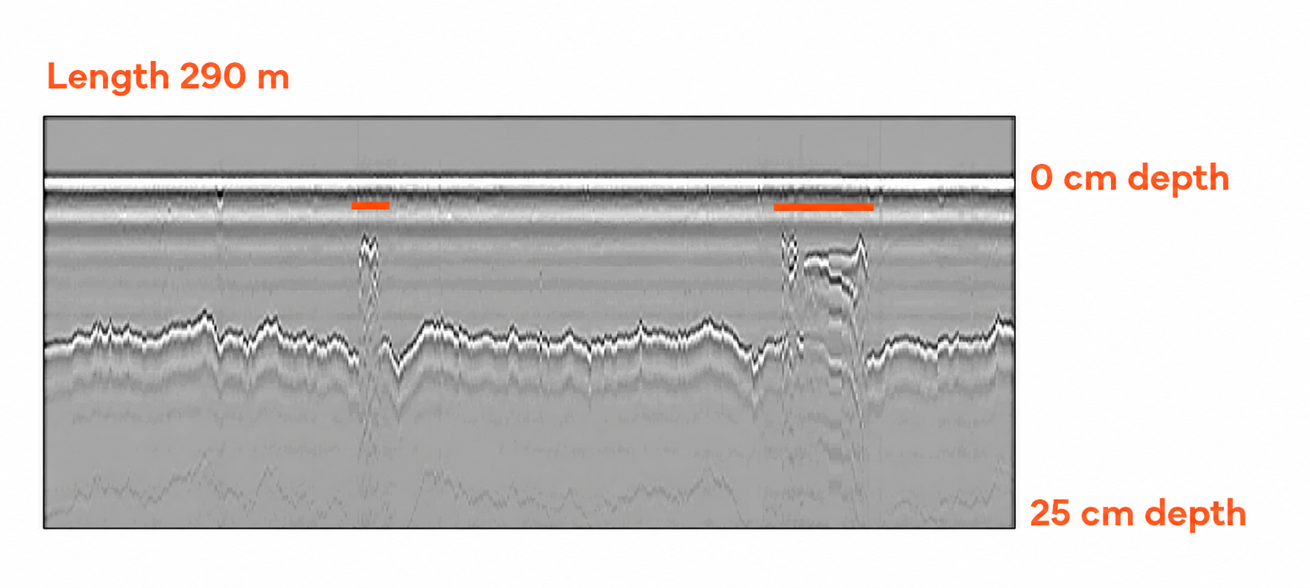
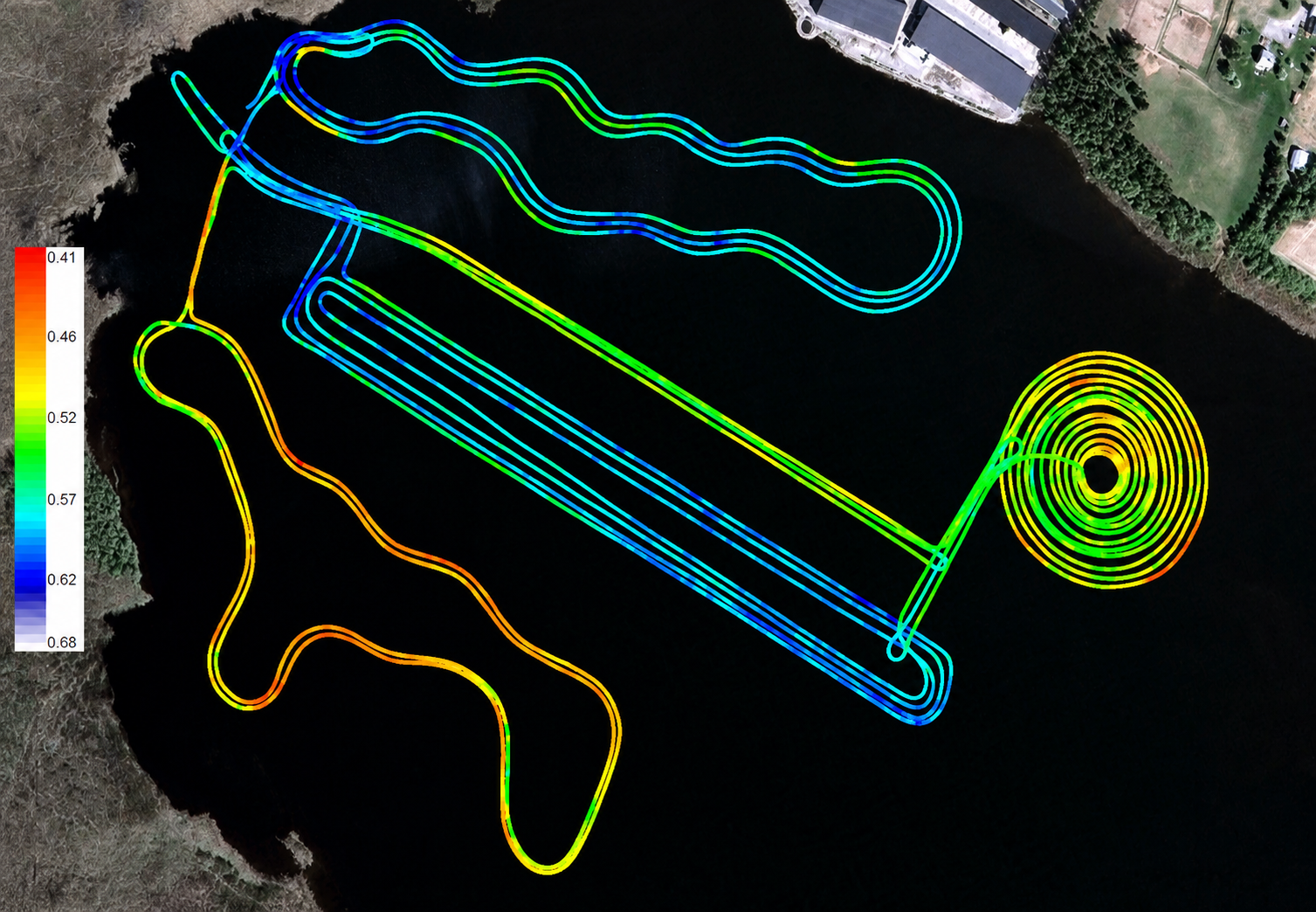
Ice road GPR data is typically presented as radargrams and georeferenced interpretation points or lines. The radargram shows how the interpreted ice boundary changes along the route, making thin sections and anomalous areas easy to review. Teams can also export the interpreted data as X, Y and Z values, where X and Y represent position and Z represents the interpreted depth to the ice boundary.
In addition, when the results are displayed on a satellite or basemap, the survey becomes an easy-to-understand thickness map. A colour scale shows the variation along the road and focuses field checks where the data indicate a need for closer inspection.
GPR combined with point drilling
Drilling and GPR provide different but complementary types of information:
- Drilling gives a direct point measurement and can support physical inspection of the ice.
- GPR provides dense, continuous coverage between the drilling points.
- A combined workflow can use drilling to verify selected locations and GPR to map the variation between them.
The achievable survey speed depends on the vehicle, antenna, route, snow cover, acquisition settings and operating conditions. GPR provides route-wide coverage, while drilling provides direct point verification.
Software and solutions
Guideline Geo provides GPR systems and software for professional ice road investigations, including:
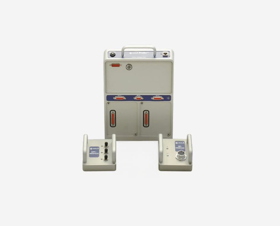
- MALÅ GX and MALÅ ProEx for versatile, high-performance GPR surveys
- MALÅ GeoDrone for drone-based investigations where airborne data collection is useful
- MALÅ Vision for processing, analysing and presenting GPR data
Ultimately, the right configuration depends on the required thickness range, survey speed, positioning, terrain, access constraints and whether the survey is performed from the surface or from the air.
Plan an ice road thickness survey
A successful survey starts by defining the operational question: establishing a baseline, checking a new route, monitoring seasonal change or locating sections that need follow-up. Then consider the expected ice thickness, vehicle loading, route geometry, antenna frequency, positioning, validation points and repeat-survey interval.
Contact Guideline Geo to discuss a GPR solution for mapping ice road thickness and monitoring changing ice conditions.
Frequently asked questions
How do you measure ice road thickness?
Ice road thickness can be measured at selected points by drilling through the ice. Ground penetrating radar adds continuous, non-destructive coverage between those points by mapping the reflection from the base of the ice. A combined GPR and drilling workflow gives both complete coverage and direct verification points.
Can GPR measure the thickness of an ice road?
Yes. GPR can map the depth to the base of an ice layer and convert that interpretation into an ice-thickness profile. You get the strongest results when you design the survey for the expected ice conditions and support it with suitable calibration or verification measurements.
What is the advantage of GPR over drilling on an ice road?
Drilling produces point measurements, while GPR can collect a dense profile continuously along a route. This helps identify changes and thin sections between drill points, reduces repeated drilling and makes it easier to compare the same route over time. Drilling remains useful for direct verification.
Can ice road GPR surveys be performed without driving on the ice?
In some situations, a drone-based GPR configuration can collect profiles from the air. This can be useful during early-season reconnaissance or where surface access is unsafe.
How often should ice road thickness be checked?
Set the interval in the site-specific ice-safety plan based on how quickly conditions change. Repeat GPR surveys can help monitor thickness after significant temperature changes, heavy traffic or other events, while targeted drilling can provide direct checks at selected locations.