Summary
Electrical resistivity tomography (ERT) measurements were successfully used to investigate the geological settings in the Scottish Highlands for a hydroelectrical scheme. Among others: an expected fault zone could be located in more detail.
Project
Method: Resistivity (in ERT mode)
Solution: ABEM Terrameter LS 2 and 4 cables with 21 take outs on each cable. 81 electrodes.
Measurement: Wenner array measurement protocol. Resistivity. 5-meter electrode spacing.
Software for processing and interpretation: Res2DInv from Aarhus GeoSoftware.
Site description
The geomorphology of the site is characterized by upland areas of peat, massive rock outcrops, river valleys and lochs ranging in elevation from approximately 350 to 450 m OD.
Solution
APEX Geophysics Limited was requested to carry out a geophysical survey as part of a ground investigation for a proposed hydroelectric scheme in the Scottish Highlands. To do this in an efficient way, both ERT and seismic profiles were collected in the investigation area.
Results and Conclusions
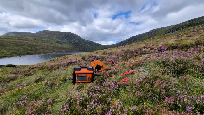
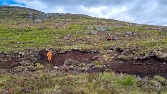
The results of the ERT were used to further develop the geological ground model and by that, reduce risks associated with the site.
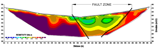
An example of a resulting ERT profile show a 400 meter transect, set out perpendicular to an expected fault running through the site. The electrical resistivity data revealed an anomaly extending from depth to near surface which was interpreted as the lateral position of the fault.
Acknowledgement
We would like to thank Apex Geophysics Ltd (apexgeophysics.ie) for sharing the information above.
Apex Geophysics Ltd. provides specialised geophysical and geological services to the engineering, environmental and natural resource sectors. Geophysical techniques are an important ground investigation tool, used together with drilling and other direct investigation methods, can increase the overall level of knowledge of the subsurface conditions and make a significant contribution to ground investigation programs. Apex Geophysics Ltd. clients include consulting engineers, private companies, state, semi-state and local authorities. Work is carried out in Ireland, the UK, Mainland Europe & the Nordic region.
- The services that Apex Geophysics Limited provide include:
- Geophysical Survey Design, Specification and Project Management
- Seismic, Resistivity, Microgravity, Electromagnetic, Magnetic and Ground Probing Radar surveys
- Exploration for Aggregates and Minerals
- Geological & Geomorphological Surveys
- Aerial Photography Interpretation
- Site Supervision & CQA
- Marine near-shore geophysical surveys