Drill Sites for Groundwater Identified
In summary: Repeated drilling failures had left an island in South Korea with critically low groundwater supply. As a result a targeted geophysical survey was commissioned – combining 2D Electrical Resistivity Tomography (ERT) and TEM – that identified two viable drill sites and delivered a tenfold increase in yield at the very first borehole. From 10 to 100 tons of groundwater yield per day.
The Project
Method: Resistivity and TEM
Solution: ABEM Terrameter LS2 for ERT and GroundTEM i-Series with Explorer coils for TEM.
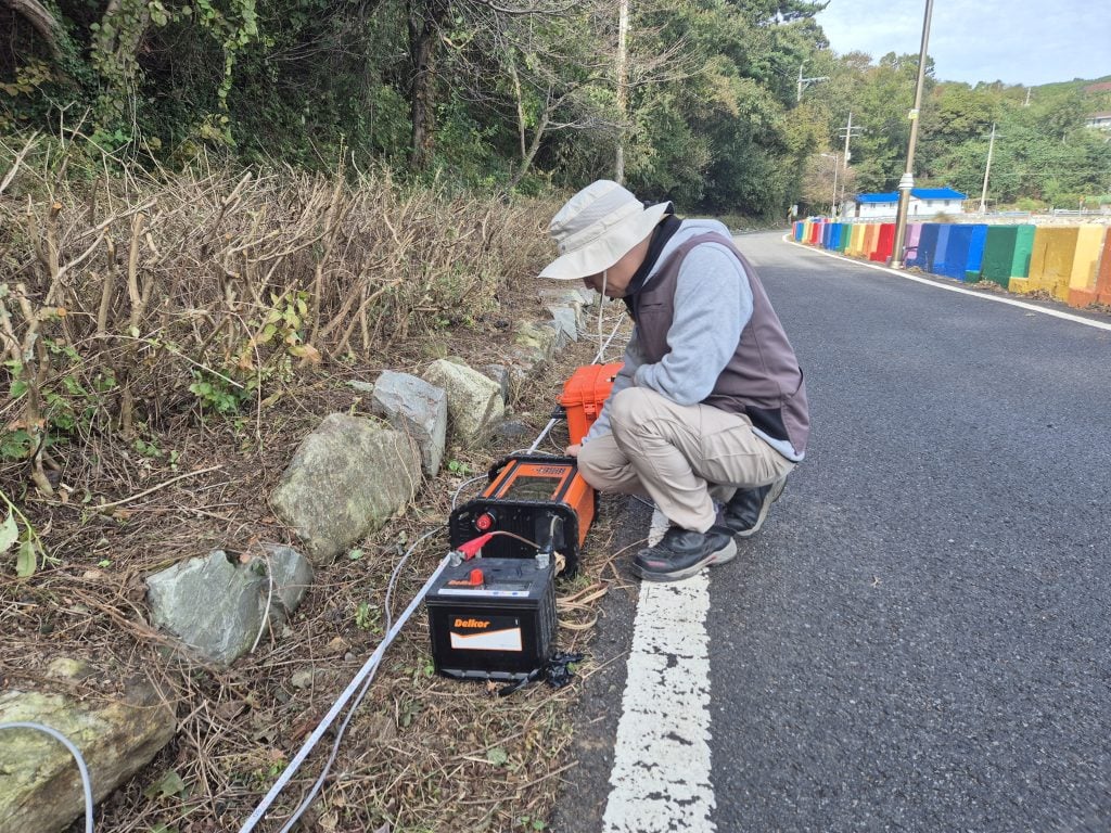
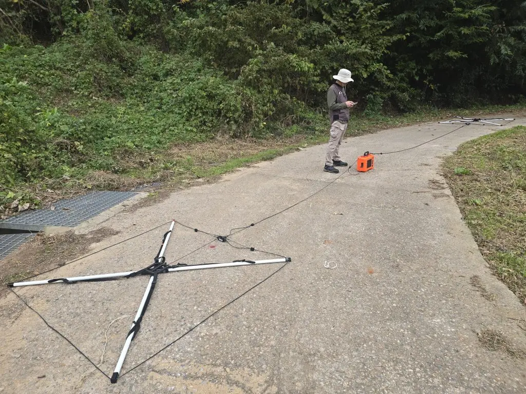
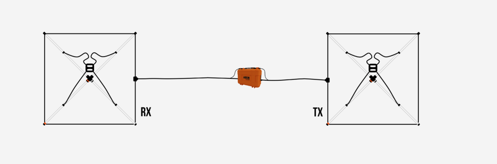
Measurement: ERT measurements were made with several different protocols. TEM measurement were carried out with the ABEM Explorer Coils (3×3 m Transmitter and Receiver coil).
A Decade of Failed Drilling – and a Community Running Short of Water
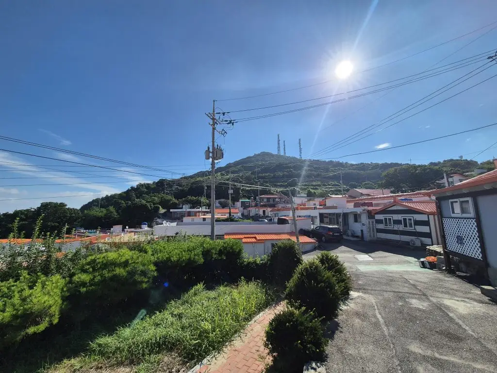
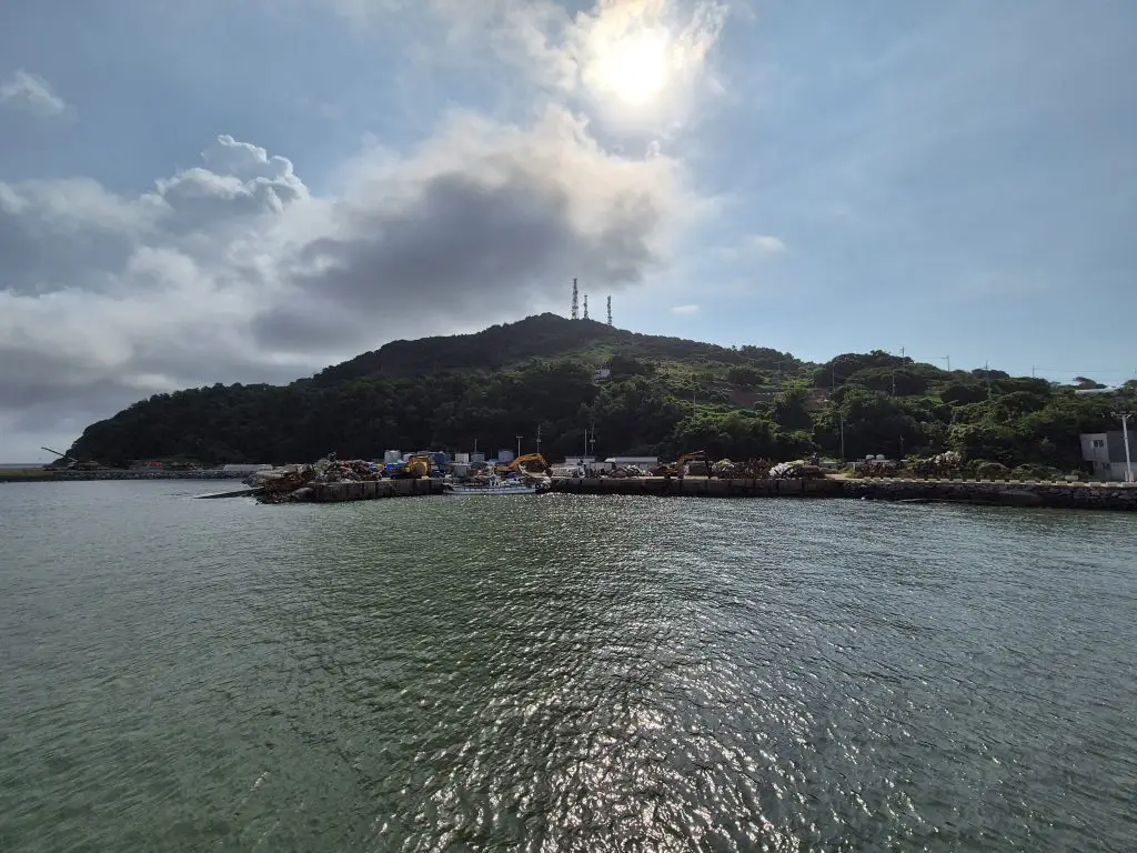
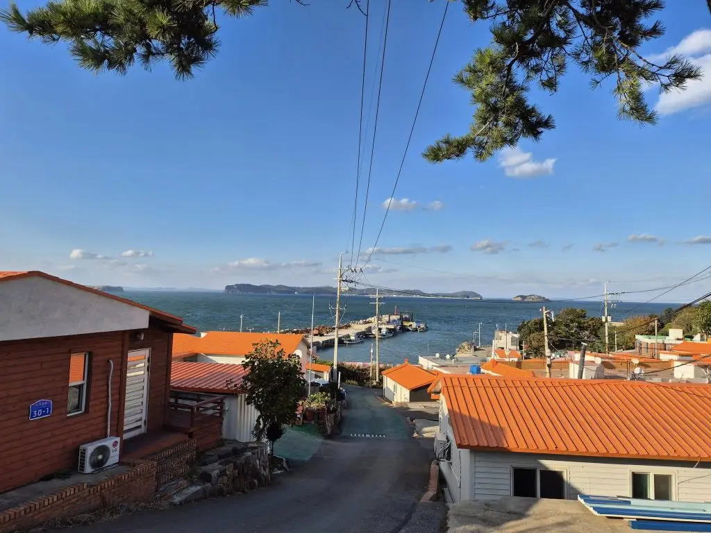
This small island, situated on the front line of South Korea, had long been a representative case of severe water scarcity. Three existing wells provided only 10 tons of groundwater per day – an inadequate supply for the residents of the island. To compensate, surface water was collected from nearby valleys for instance.
As a result groundwater development companies had attempted exploration on the island repeatedly over more than a decade. Without success. Due to a combination of difficult geology, a remote location, and high cost.
“With conventional drilling-led approaches exhausted, we were commissioned to conduct a geophysical groundwater investigation from the ground up – designing survey lines, selecting the right combination of methods, and targeting the subsurface with precision” says Martin Seo, COO at Bomin Global.
Designing a Geophysical Survey to Succeed Where Drilling Alone Had Failed
Why multi-method geophysics – and not another drill? The repeated failure of exploration boreholes pointed to a fundamental problem: without a more comprehensive subsurface imaging, drill site selection had been essentially speculative. So by measuring how electrical resistivity varies with depth and lateral position (with ERT and TEM), it becomes possible to map geological structures, identify fracture zones, and distinguish water-bearing horizons from dry rock – before a single drill bit even touches the ground.
Survey methods and array configuration
A full-scale investigation was carried out using a combination of four complementary configurations:
- 2D ERT – Dipole-dipole array, Schlumberger combination array and Pole-pole array
- TEM
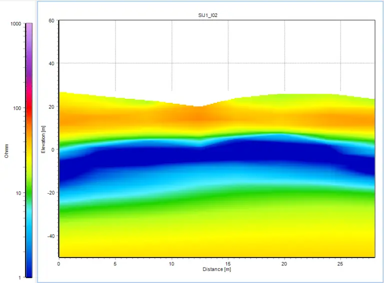
In short the survey lines were placed according to the island’s topography and structural context. Firstly the ERT approach provided detailed 2D resistivity cross-sections, imaging subsurface structures and highlighting zones with characteristics favorable for groundwater accumulation – particularly fractured bedrock and permeable sedimentary layers. Secondly the TEM surveys complemented the ERT data with greater penetration depth and high sensitivity to conductive zones, which was essential for reliably distinguishing freshwater-bearing horizons from dry or resistive rock. Integrating both datasets enabled a robust, cross-validated interpretation of the subsurface.
Results & Conclusion
Analysis of the combined ERT and TEM datasets identified two final drill targets and concluded that:
- Pole–pole array resistivity surveys effectively identified fracture zones and deep low-resistivity anomalies. Drilling results confirmed a successful groundwater development of up to 100 m³/day (more than 10 times the yield of existing wells).
- TEM surveys delineated seawater intrusion and inferred fault zones, improving geological interpretation reliability.
- Combined resistivity and TEM surveys proved effective for deep aquifer exploration in spatially constrained island regions.
Geophysical Exploration as a Tool for Improving Quality of Life in Water-Scarce Communities
This project is a clear demonstration of what rigorous, multi-method geophysical exploration can achieve in environments where access is difficult, and the cost of a failed borehole is high. Where a decade of drilling-led attempts had produced nothing, a carefully designed ERT and TEM survey delivered a transformative result – both technically and for the lives of the people who depend on reliable water access every day.
The approach used here – combining complementary resistivity and electromagnetic methods along well-designed survey lines – is directly applicable to other islands, arid regions, or geologically complex sites where conventional groundwater prospection has stalled or failed.
More to read
Methods: Electrical Resistivity and Induced Polarization (ERT) & Transient electromagnetics (TEM)
Application: Finding Groundwater
Products
- ABEM Terrameter LS 2
- GroundTEM i-Series
- With Explorer coils
Acknowledgement
We would like to thank Martin Seo and Bomin Global in South Korea, for sharing the information above.