Why Mapping Tree Roots Matters?
Trees deliver enormous value – especially in urban environments. Mapping their root systems with Ground Penetrating Radar (GPR) helps protect that value during construction, excavation, and utility maintenance work.
The Real Value of Urban Trees
Urban trees are far more than just aesthetic greenery; they are critical city infrastructure.
Climate & Air Quality: Trees capture airborne particles, absorb carbon dioxide, and actively improve the air we breathe.
Temperature Control: They provide vital shade and lower urban heat island temperatures.
Water Management: Roots help manage stormwater by absorbing and slowing down rain and meltwater runoff.
The Multi-Million Euro Risk
Yet, urban trees face serious threats whenever subsurface infrastructure expands or requires maintenance. Uncontrolled digging can sever root systems so severely that trees cannot survive. Losing a tree isn’t just an environmental hit; it is a major financial liability:
High Replacement Costs: Replacing a mid-grown or mature tree carries a massive price tag today.
Severe Legal Penalties: In several European cities, strict tree protection laws treat mature trees as high-value assets. If a significant tree is severely damaged or killed, the combined municipal fines and compensatory damages can exceed €2 million in extreme cases.
The Bottom Line: Damaging a root system in an urban area isn’t just an accident – it’s an incredibly expensive legal and financial liability.
A Smarter Way to Excavate
Careful manual excavation or vacuum excavation can drastically reduce the risk of root damage. However, both methods work far more efficiently, safely, and cost-effectively with a detailed, GPR-generated map of the root layout in hand before the first shovel hits the ground.
How GPR Detects and Maps Tree Roots
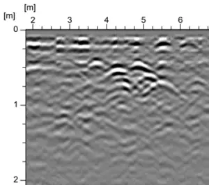
Ground Penetrating Radar (GPR) works by transmitting electromagnetic waves into the ground. When those waves encounter a change in electrical properties – such as the transition from sandy soil to a tree root – they reflect back to the antenna. The GPR records these reflections, and tree roots typically produce a characteristic signature in the resulting radargram known as a hyperbola.
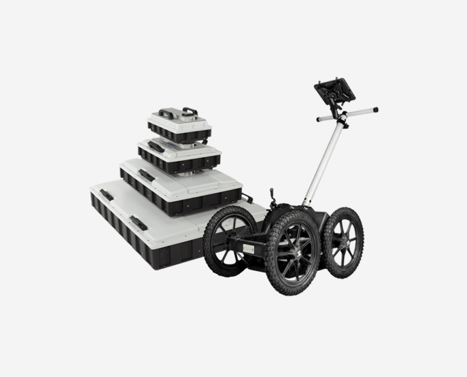
Why 3D Multi-Channel GPR Delivers the Best Results
Tree roots wind in multiple directions, vary in depth, and form complex web-like networks – which makes a 3D multi-channel GPR solution the most effective tool for this work. A 3D GPR system collects dense, parallel profiles and generates a rich data volume ideal for interpolation, producing high-resolution depth slices of the entire root system.
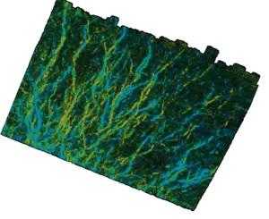
An example of a red oak root system as seen in MALÅ Vision. The tree is located on the bottom left-hand side. Data collected with MALÅ MIRA Compact. Credits to TerraSearch Geophysical for the data set.
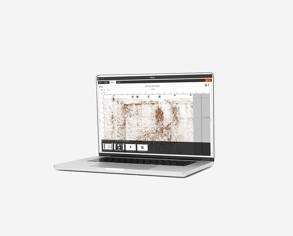
The resulting data supports multiple output formats: export a georeferenced TIFF for use in GIS or CAD software, or trace individual roots and export them as polylines in DXF, TXT, or CSV format.