Mapping depth to bedrock – Arabian peninsula

Want to know more?

Get in touch with us for expert help.

Case story

The project was initiated and coordinated by Guideline Geo’s distributor in the region and the results show the ability of the TEM (Transient Electromagnetic) method to map the depth to a subsurface bedrock interface.

Challenge

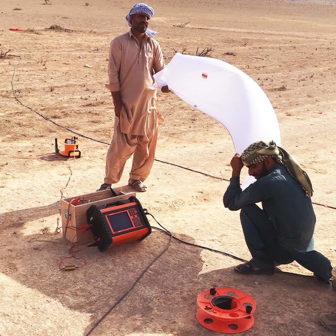
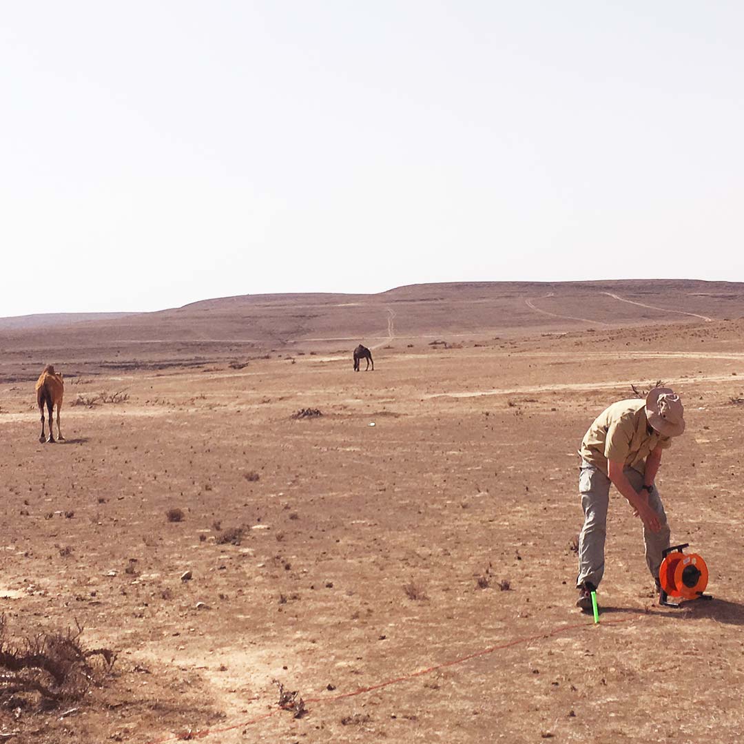
A remote survey area located 1000 m above sea level and with a gentle varying terrain was chosen for the evaluation of the ABEM WalkTEM instruments.

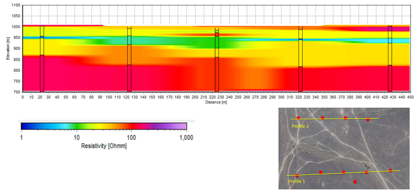
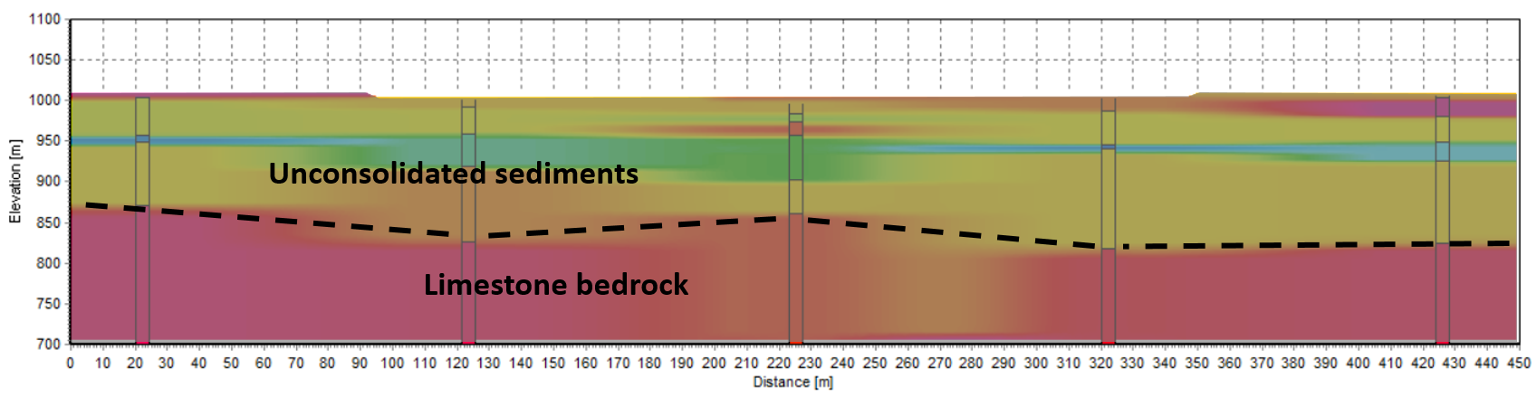
Knowledge of the geology in the survey area is sparse and only information from general geological mapping is available in the area. This information combined with local inspection of the geology during the field campaign works as a baseline in evaluation of the geophysical results.

Solution

The fieldwork was conducted by a representative from Guideline Geo AB assisted by our local partner in the region, Mr. Najeeb Rashid Abdullah Al-Mugheiry representing Infinite Geological Solutions LLC accompanied by a field crew of four persons.

The equipment used for the survey comprised an ABEM WalkTEM Tx/Rx, RC5 and RC200 antennas and a 40×40 m transmitter loop. Transmitted current in Low Moment was 2 Amps and in High Moment 16 Amps.

The data were processed and inverted in Aarhus SPIA TEM software from Aarhus Geosoftware and visualized in sections and horizontal sliced maps in Aarhus Workbench, also from Aarhus Geosoftware.

Results

The geophysical results from the survey are visualized in the section below. The vertical bars indicate the TEM soundings along the section line.

The varying resistivities in the upper part of the profile represents unconsolidated sediments. Low resistivity layers (resistivity < 40-50 ohmm) represent clay- or silt-rich layers and decreasing resistivity reflects increasing content of clay/silt. Higher resistivities represent layers of sand or gravel.

The layer of very high resistivity seen in the lower part from an elevation of approx. 850 meters and below is interpreted as limestone bedrock.

Based on the geophysical results, a preliminary interpretation of the limestone bedrock interface is produced.

Download case story PDF

Profile 1 – WT soundings
Profile 1 – Geological interpretation

Acknowledgement

Guideline Geo AB wishes to express our gratitude to Mr. Najeeb Rashid Abdullah Al-Mugheiry from Infinite Geological Solutions LLC based in Muscat, Oman for local liaison and valuable assistance when collecting the data.

More reading

How ERT and TEM Surveys Solved a Water Crisis on Remote Island: From 10 to 100 Tons per Day

From 10 to 100 tons of groundwater yield per day: …

ERT-Based Subsoil Assessment to Support Reliable Foundation Design

Supporting safe foundation design using Electrical Resistivity Tomography (ERT)…

Finding Groundwater for a Plantation using TEM

Finding Groundwater for a Durian Orchard using Transient Electromagnetic (TEM)…

Newsletter

Sign up for Guideline Geo’s newsletter and be the first to know.