
Case story
In 2017, the Dutch consulting company Wiertsema & Partners did a groundwater-mapping project for the water supply company, Vitens.
Challenge
In the Netherlands, domestic and industrial use of water is increasing and there is a need for finding new sustainable groundwater resources. In the North-Eastern part of the Netherlands (Twente area), there is a complex mixture of glacial till, buried paleo valleys and deep paleo saline groundwater deposits. As the groundwater aquifers are shallow and because of the risk for salinization, it is necessary to conduct extensive mapping before developing new well fields.
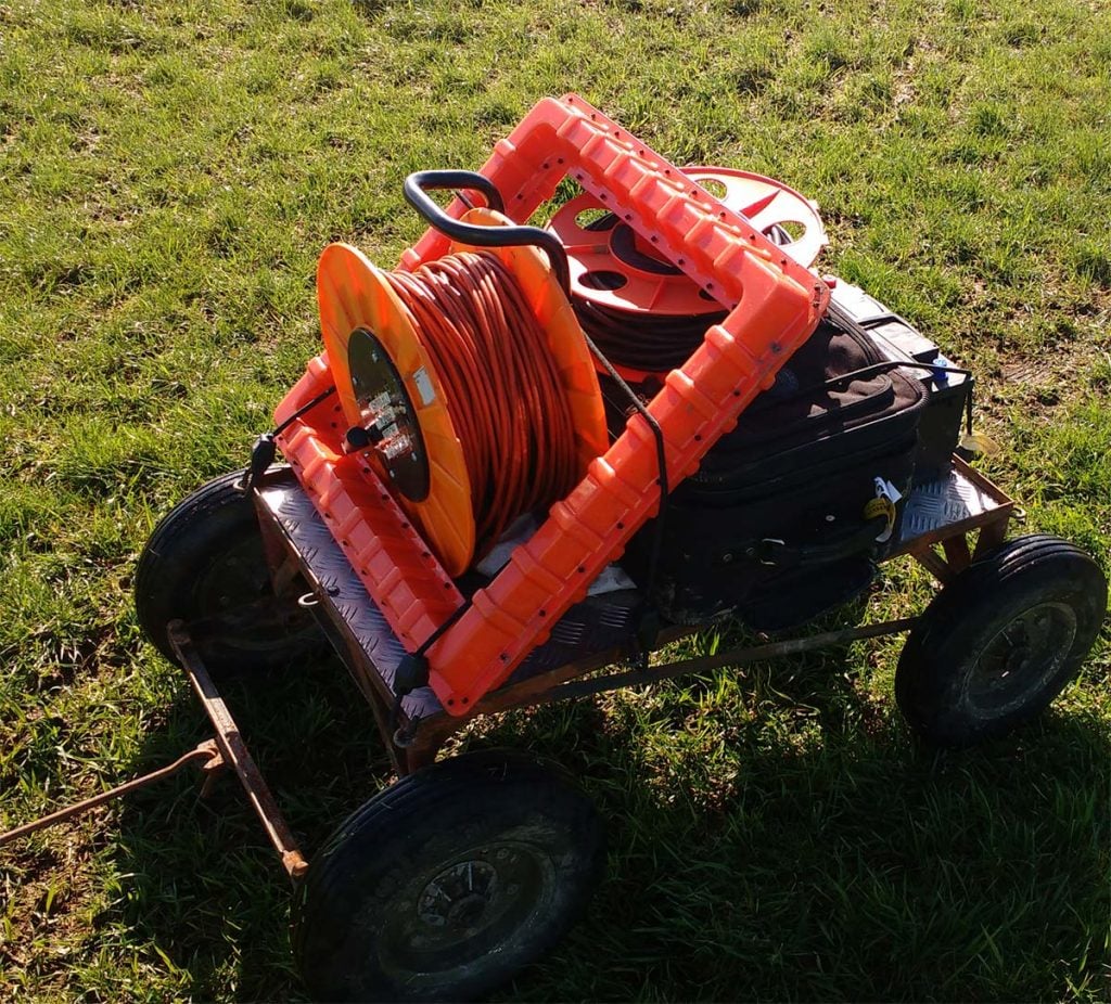
In addition to the difficulty of the geology in the survey area, the farmers did not allow machinery on their fields at that time of the year, so all transportation has to be by foot.
Solution
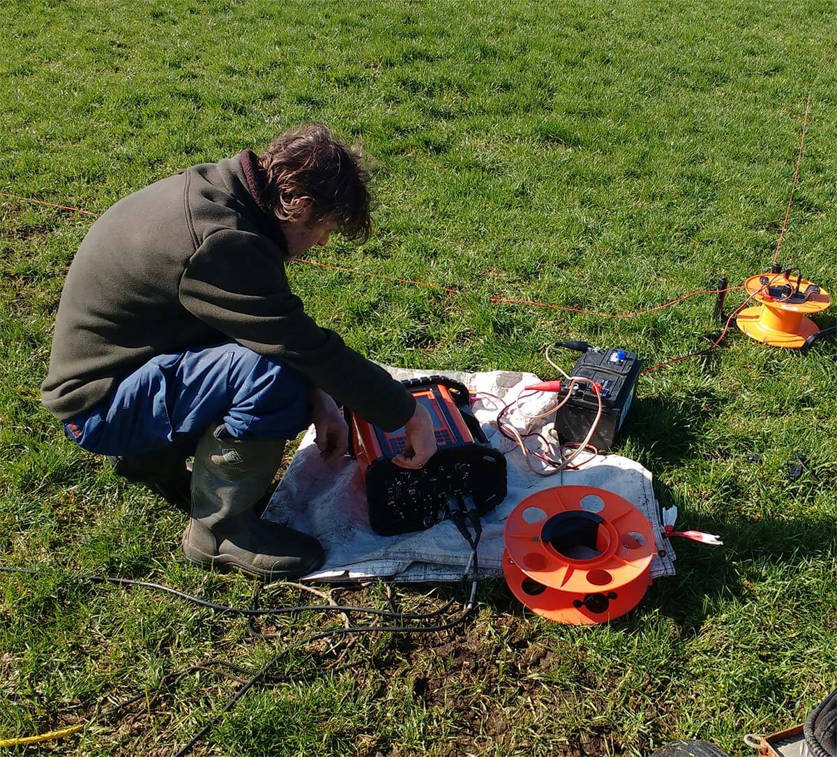
Wiertsema & Partners chose the ABEM WalkTEM for the survey as it is relatively light and small, making it easy to pull in a trolley at the site, but also because of the high resolution of data and that relatively deep soundings could be achieved even with a small transmitter loop. The fast and easy field setup made it possible to use a small field crew and keep labour costs low.
The system consisted of an ABEM WalkTEM instrument, RC-5 and RC-200 receiver antennas and a 40×40 m Tx loop. The software SPIA TEM from Aarhus GeoSoftware was used for the inversion of data.
Results
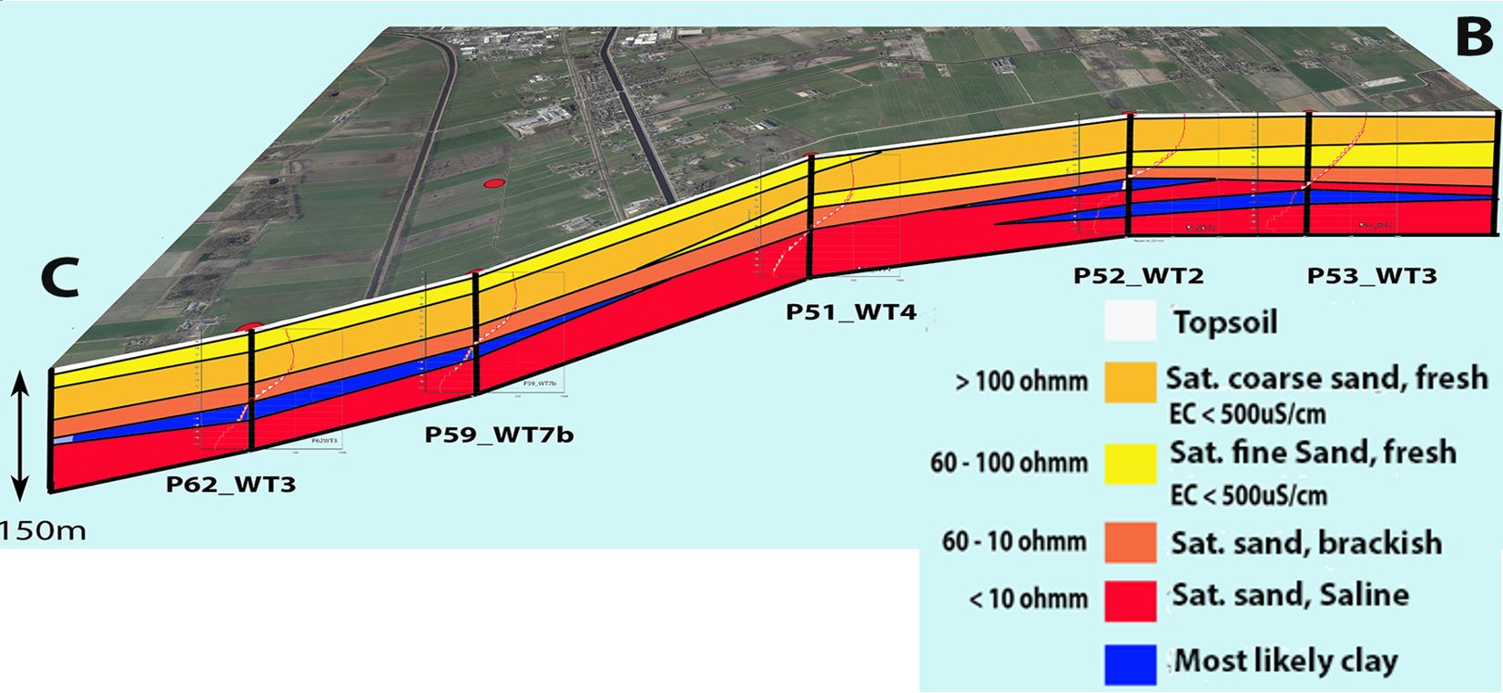
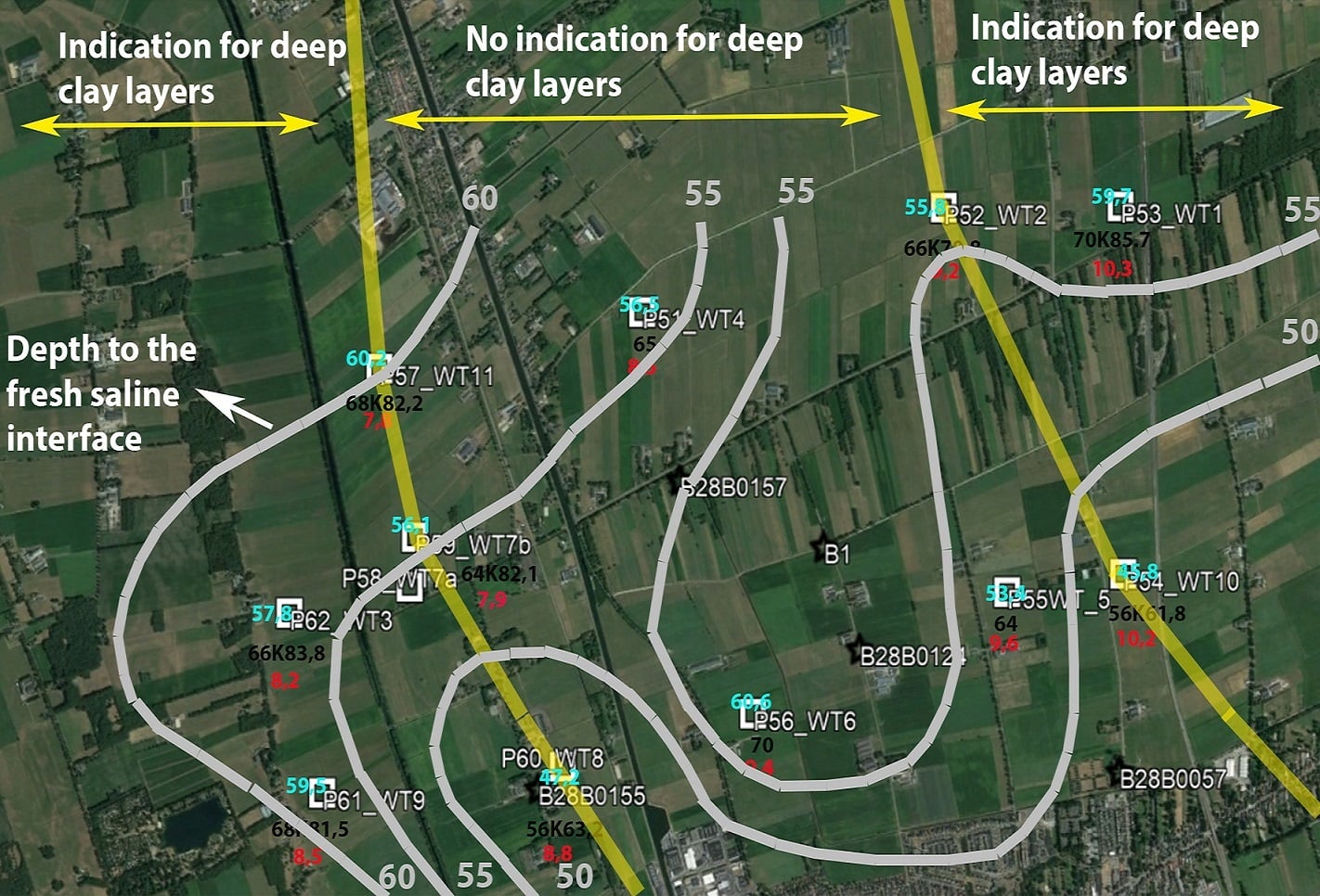
Due to the high resolution of the WalkTEM soundings, difference could be made between different formation layers containing fresh and brackish groundwater as well as clay layers. Based on the combination of existing geological information and the WalkTEM soundings, promising areas could be selected and locations of reconnaissance boreholes were optimized.
In the profile below, the interpretation of each sounding is put together to a geological profile using the resistivity discrimination between layers as described in the legend.
Based on the interpretations, the survey results are also visualized as map overlays showing the presence of deep clay layers and the depth to the fresh water / saline water interface.
Download case story PDF
Acknowledgement
Guideline Geo wishes to express our gratitude to Michel Groen, Wiertsema & Partners for putting this case story together and to Vitens for making the project results available for sharing.
Vitens: http://www.vintens.com
Wiertsema & Partners: https://www.wiertsema.nl


